
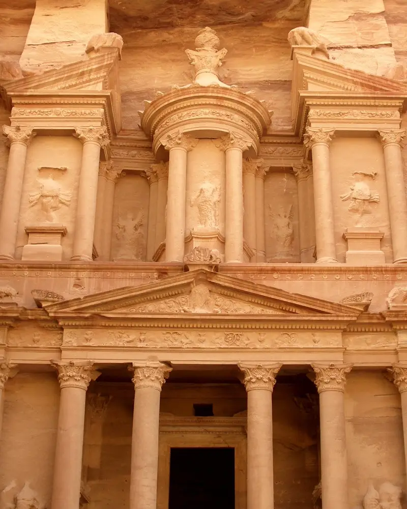
Photo: “Al-Khazneh (The Treasury) 2, Petra, Jordan”, Vyacheslav Argenberg · CC BY 4.0 · Wikimedia Commons. Cropped and resized for the web.

JORDAN · 4TH CENTURY BC
Petra
البتراء
Caravans of the Nabataeans met at Petra, between the Red Sea and the Dead Sea, where routes from Arabia, Egypt and Syria-Phoenicia crossed; people had lived there since prehistory. Some of the city is built of masonry and some cut straight into the cliffs, and its buildings mix older Eastern traditions with Hellenistic design.
- Original name
- البتراء
- Country
- Jordan
- Period
- 4th century BC
- Civilisation
- Nabataean
- UNESCO
- On the World Heritage List
- Location
- 30.3306° N, 35.4433° E Open in OpenStreetMap Open in Apple Maps
If Antigone is installed, this button opens the city straight in the app.
Visit
- Getting there
- About 3 hours’ drive from Amman via the Desert Highway (4 via the King’s Highway); about 2 hours by public bus from Aqaba.
- Main Trail walk
- The 3.9 km Main Trail from the Visitor Centre to Qasr al-Bint takes 1 h 30 min to 1 h 45 min one way, without stops.
- When to go
- March–May, September–November
- The best times to visit are spring (March–May) and autumn (September–November), when the weather is mild.
Check the official page for hours and current status.
A QUESTION FROM THE ROAD
Petra lies between which two seas?
The answer, and all of the city’s lessons, are in the app.