
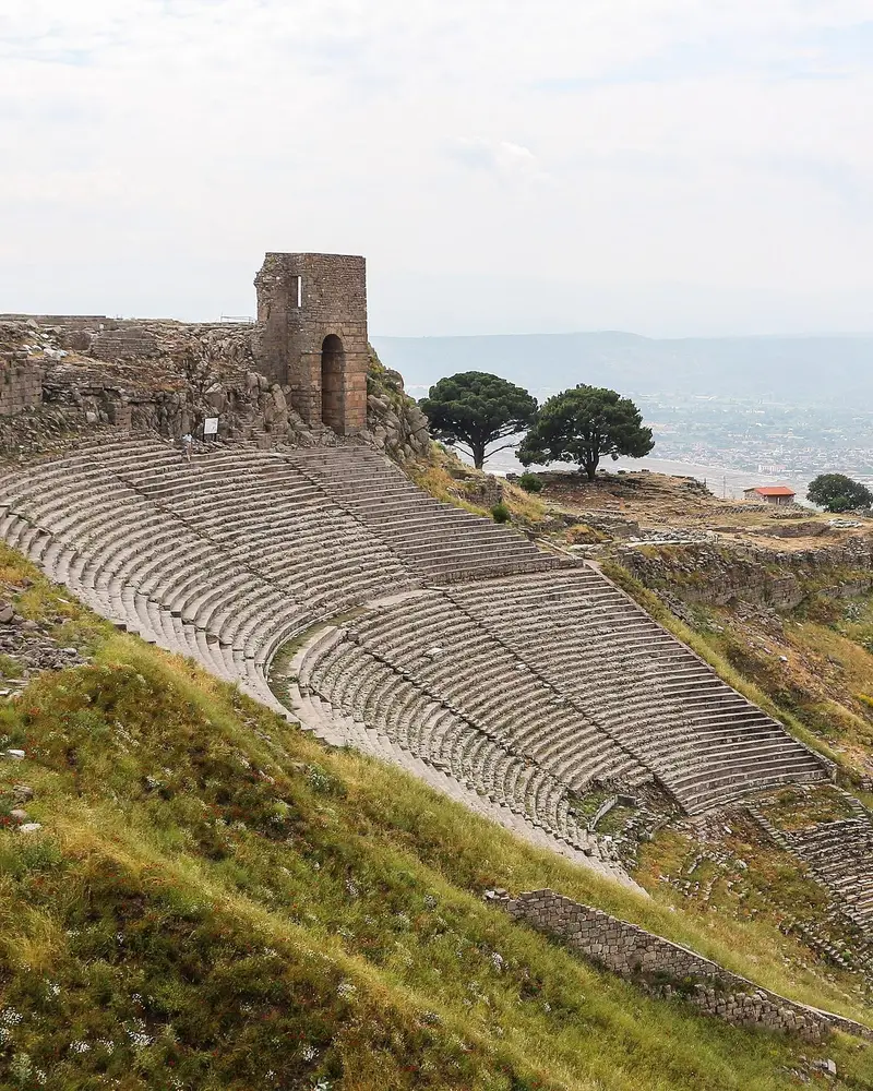
Photo: “Theatre of Pergamon”, Bernard Gagnon · CC BY-SA 3.0 · Wikimedia Commons. Cropped and resized for the web.

TÜRKIYE · 3RD CENTURY BC
Pergamon
Πέργαμον
Temples, a theatre, stoas, a gymnasium, an altar and a library were set into the slope of the Pergamon acropolis, following the lie of the land. As capital of the Hellenistic Attalid dynasty the city was a leading seat of learning, and the hill looks down on the Bakırçay plain.
- Original name
- Πέργαμον
- Country
- Türkiye
- Period
- 3rd century BC
- Civilisation
- Greek
- UNESCO
- On the World Heritage List
- Location
- 39.1325° N, 27.1842° E Open in OpenStreetMap Open in Apple Maps
If Antigone is installed, this button opens the city straight in the app.
Areas of the site
-
Pergamon Acropolis
The palaces, library and steeply built theatre of the Attalid kings stand on the highest hill of the city.
-
Asklepion
This healing centre of the god Asklepios was reached by a sacred way; most of the ruins date from the reign of Hadrian.
-
Red Hall (Serapeion)
The great red-brick temple the Romans dedicated to Egyptian gods stands in the lower city; it was later used as a church.
-
Kybele Sanctuary at Kapıkaya
A rock-cut sanctuary of Kybele on a hill north-west of the city, within sight of the acropolis.
A QUESTION FROM THE ROAD
Pergamon was the capital of which dynasty?
The answer, and all of the city’s lessons, are in the app.