
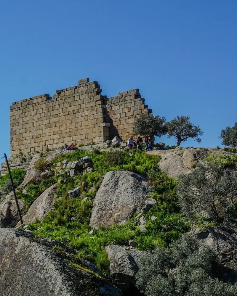
Photo: “Herakleia Athena Tapınağı”, Aerdemsenturk · CC BY-SA 4.0 · Wikimedia Commons. Cropped and resized for the web.

TÜRKIYE · HELLENISTIC PERIOD
Herakleia under Latmos
Ἡράκλεια ὑπὸ Λάτμῳ
Herakleia, at Kapıkırı in the district of Milas, stood on the Gulf of Latmos, which silt from the Maeander turned into today’s Lake Bafa. A Hellenistic wall 6.5 km long, strengthened with 65 towers, encircles the city, and the Temple of Athena is among its best-preserved buildings.
- Original name
- Ἡράκλεια ὑπὸ Λάτμῳ
- Country
- Türkiye
- Period
- Hellenistic Period
- Civilisation
- Carian
- Location
- 37.5019° N, 27.5249° E Open in OpenStreetMap Open in Apple Maps
If Antigone is installed, this button opens the city straight in the app.
Areas of the site
-
Temple of Athena
A two-columned Hellenistic temple on the rocks behind the harbour, among the city’s best-preserved buildings.
-
Agora
In the Hellenistic agora east of the Temple of Athena, the walls of the two-storey shops along the south side still stand.
-
Sanctuary of Endymion
The apsidal cella survives from the sanctuary of Endymion, the shepherd loved by the moon goddess Selene.
A QUESTION FROM THE ROAD
Herakleia stood on the Gulf of Latmos. What did the gulf become over time?
The answer, and all of the city’s lessons, are in the app.