
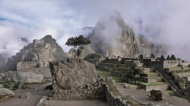
Photo: “Ruins of Machu Picchu (Unsplash)”, Tomas Sobek · CC0 · Wikimedia Commons. Cropped and resized for the web.

PERU · AD 1450
Machu Picchu
Of all the cities built at the height of Inca power, Machu Picchu is probably the most extraordinary. It sits 2,430 m above sea level in tropical mountain forest, and its massive walls, terraces and ramps follow the rock faces so closely that they seem part of the cliffs themselves.
- Country
- Peru
- Period
- AD 1450
- Civilisation
- Inca
- UNESCO
- On the World Heritage List
- Location
- 13.1631° S, 72.5450° W Open in OpenStreetMap Open in Apple Maps
If Antigone is installed, this button opens the city straight in the app.
Visit
- Getting there
- Trains run from Ollantaytambo to Aguas Calientes, the closest town to the Inca citadel.
- When to go
- April–October
- The ideal time to visit is April to October, the dry season in the Cusco region.
Check the official page for hours and current status.
A QUESTION FROM THE ROAD
How high above sea level is Machu Picchu?
The answer, and all of the city’s lessons, are in the app.