
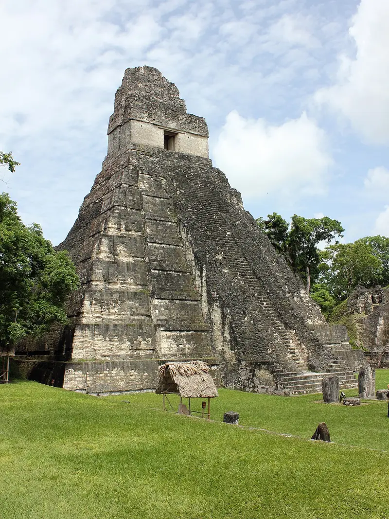
Photo: “Tikal Temple I 01”, Kaldari · CC0 · Wikimedia Commons. Cropped and resized for the web.

GUATEMALA · 600 BC
Tikal
Tikal’s ceremonial centre holds fine temples and palaces around plazas reached by ramps, while traces of houses are spread over the countryside beyond. Deep in the rainforest, the city was lived in from the 6th century BC to the 10th century AD and was one of the chief centres of the Maya.
- Country
- Guatemala
- Period
- 600 BC
- Civilisation
- Maya
- UNESCO
- On the World Heritage List
- Location
- 17.2220° N, 89.6237° W Open in OpenStreetMap Open in Apple Maps
Open in the app Coming soon to the App Store
If Antigone is installed, this button opens the city straight in the app.
A QUESTION FROM THE ROAD
What kind of setting is Tikal in?
The answer, and all of the city’s lessons, are in the app.