
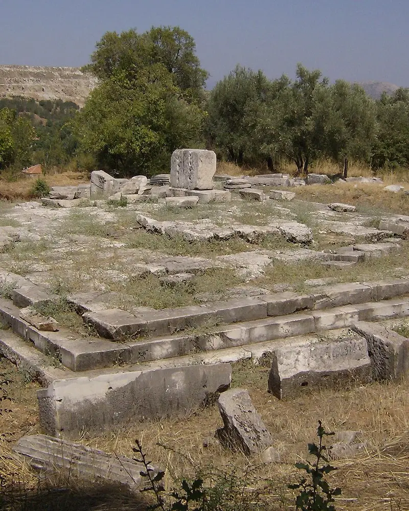
Photo: “Stratonicea, Sebasteion”, gabri331 · Public domain · Wikimedia Commons. Cropped and resized for the web.

TÜRKIYE · 3RD CENTURY BC
Ancient City of Stratonikeia
Στρατονίκεια
In inland Caria, Stratonikeia is a multi-period city with continuous occupation from the Late Bronze Age, a Hellenistic grid plan, monumental civic buildings and the historic fabric of Eskihisar village.
- Original name
- Στρατονίκεια
- Country
- Türkiye
- Period
- 3rd century BC
- Civilisation
- Carian
- UNESCO
- On the World Heritage Tentative List
- Location
- 37.3131° N, 28.0653° E Open in OpenStreetMap Open in Apple Maps
If Antigone is installed, this button opens the city straight in the app.
Areas of the site
-
Ancient City of Stratonikeia
The ruins of the grid-planned Hellenistic city are interwoven with the Ottoman and Republican-era houses of Eskihisar village.
-
Sanctuary of Hecate at Lagina
Linked to Stratonikeia by a sacred road, Lagina, with its Temple of Hecate and its altar, was one of the leading cult centres of Caria.
A QUESTION FROM THE ROAD
Which village’s historic fabric survives at Stratonikeia?
The answer, and all of the city’s lessons, are in the app.