
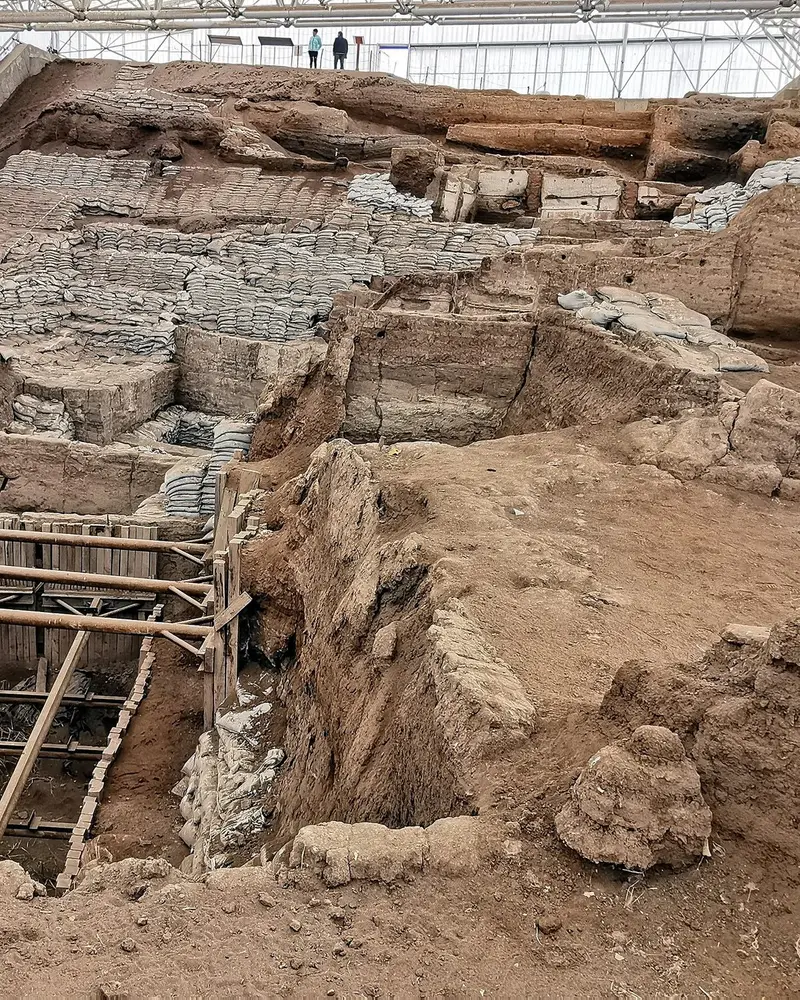
Photo: “Çatalhöyük, 7400 BC, Konya, Turkey - UNESCO World Heritage Site, 10”, Murat Özsoy 1958 · CC BY-SA 4.0 · Wikimedia Commons. Cropped and resized for the web.

TÜRKIYE · 7400–5200 BC
Neolithic Site of Çatalhöyük
Çatalhöyük
Çatalhöyük’s houses stood wall against wall and were entered through the roof. Lived in for more than 2,000 years, the site traces the move from village life to a crowded urban community.
- Original name
- Çatalhöyük
- Country
- Türkiye
- Period
- 7400–5200 BC
- Civilisation
- Neolithic
- UNESCO
- On the World Heritage List
- Location
- 37.6667° N, 32.8281° E Open in OpenStreetMap Open in Apple Maps
If Antigone is installed, this button opens the city straight in the app.
Areas of the site
-
East Mound
The taller East Mound holds eighteen Neolithic building levels dated between 7400 and 6200 BC.
-
West Mound
The West Mound shows how life changed during the Chalcolithic period, between 6200 and 5200 BC.
A QUESTION FROM THE ROAD
How did people enter the back-to-back houses of Çatalhöyük?
The answer, and all of the city’s lessons, are in the app.